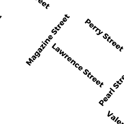
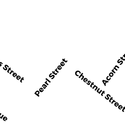
214 PEARL ST
Owner Information
NATHANSON, WILMA L.
214 PEARL ST.
CAMBRIDGE, MA 02139-4511


Property Details
214 PEARL ST is classified as a Three-Family Residential (Decker).
The primary structure on this property was built in 1868. There are 3,770ft2 of built area within this property. There is 2,814ft2 of residential/living space within this property. This property is listed as having 12 rooms. There are 3 units within this property.
214 PEARL ST is valued at $1,408,100. The land is valued at $694,200 and the structures are valued at $713,900.
This property is in Zone C. Confirm with local Zoning Board authorities to ensure there are no overlays or other easements on this property.
The most recent deed for 214 PEARL ST is recorded at the local registrar in Book 14780, Page 0310. 214 PEARL ST was last sold on Friday, November 5, 1982 for $55,000.
Assessment data from fiscal year 2021.
Flood Data
According to the FEMA National Flood Hazard Layer, this property does not appear to be in a flood zone. It may also be in an area not yet reviewed. Nonetheless, confirm this information prior to taking any action.
To view the flood hazards around this property, create a FEMA "Firmette" Map of the area around 214 PEARL ST.
Broadband Internet Providers
| Provider | Type | Bandwidth (mbps) | |
|---|---|---|---|
| Crown Castle Fiber | Fiber | 0 | 0 |
| Verizon New England Inc. | DSL | 7 | 0 |
| GCI Communication Corp. | Satellite | 0 | 0 |
| T-Mobile | Fixed Wireless | 25 | 3 |
| Starry, Inc. | Fixed Wireless | 200 | 200 |
| netBlazr Inc | Fixed Wireless | 50 | 50 |
| Comcast | Cable | 1000 | 35 |
| Viasat Inc | Satellite | 100 | 3 |
| VSAT Systems, LLC. | Satellite | 2 | 1 |
| HughesNet | Satellite | 25 | 3 |
Broadband service provider data from December 2020.
Adjacent Properties
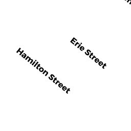
- 158 HAMILTON ST
Three-Family Residential owned by FIGUEROA, CARLOS R. & MARGARITA FIGUEROA - 216 PEARL ST
CONDO-BLDG owned by PHELPS, MONT ANDREW - 216 PEARL ST #1
Residential Condominium owned by AUGUST, ALLISON M. & BARUCH S. TICHO - 216 PEARL ST #2
Residential Condominium owned by PASTORELLO, DOUGLAS F. & - 216 PEARL ST #3
Residential Condominium owned by RANE, RAJESH S. & VARSHA RANE